


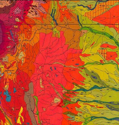
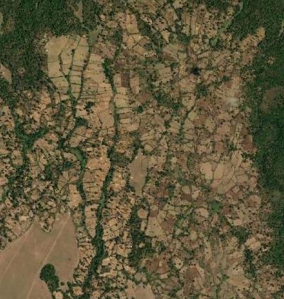
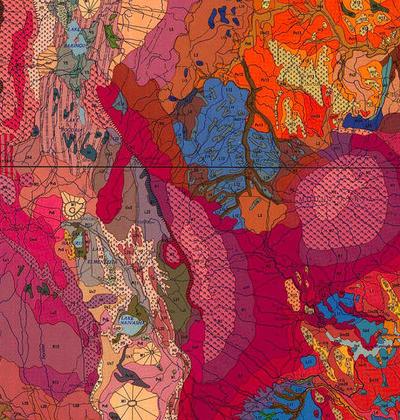
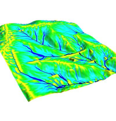
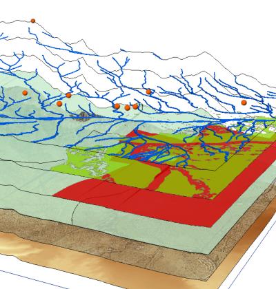
Geographic information
About us
We are the Netherlands Coordination Office for UNSDI (UNSDI-NCO). We are the national liaison between the United Nations organizations, UN Member States and Netherlands ministries, institutes, universities, NGOs, SMEs and (multi-national) enterprises.
Our mission is to increase sustainability of our planet and to decrease world inequality. To that end we contribute to the world-wide disclosure of geographic information, GIS and SDI software, sharing of knowledge and experience. This simultaneously contributes to the Sustainable Development Goals and combating climate change.
If you need support in getting high-quality specific application oriented geographic information, SDI implementation, GIS education and training or support in setting up and implementing national SDI related policies, we’re here to help you.
We can support you directly via a bilateral activity, or in an international programme setting, the latter mostly in cooperation with FAO and/or other UN organizations.
Even if you don’t exactly know what route you will have to follow in enhancing your own capacities, we can also assist you in requirements analysis and translation of these requirements in a project plan.
Our main partners